11″x14″ Colored Map of MAP OF FLORIDA WITH ILLUSTRATIONS. Displayed on corrugated board and sealed in a protective sleeve.
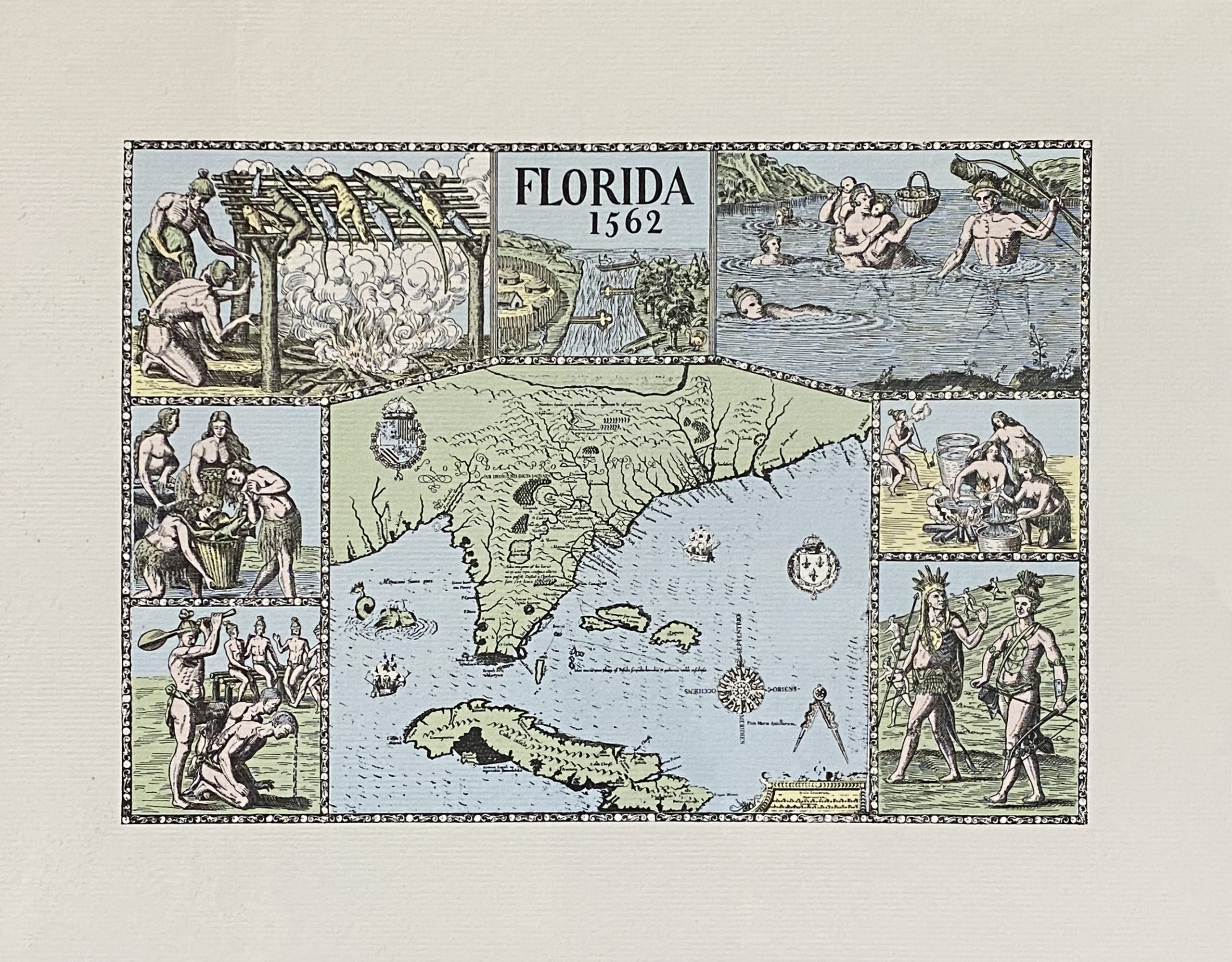
Map of Florida with illustrations by Jacques Le Moyne
$10.00
MAP OF FLORIDA WITH ILLUSTRATIONS
Engraved map with illustrations by Jacques le Moyne de Morgues circa the 1560s, published by Theodor de Bry in Grand Voyages, Frankfort, 1591. Original image size: 18 in. x 14 in. Print size (frameable portion) 10 3/4 in. x 7 5/8 in.
One of the earliest and most influential maps of the American southeast ever published. Drawn by the French artist Jacques Le Moyne de Morgues c. 1565 and published by Theodore de Bry in 1591, this magnificent map details the Florida peninsula and Carolina coast from Cuba to the Bahamas, to “Prom Terra flag” or, as it is known today, Cape Lookout near Beaufort, North Carolina.
The fascinating story of this map begins with the ambitions of the influential Huguenot Admiral Gaspard de Coligny. De Coligny, desirous of a French foothold on the American mainland sent the talented navigator Jean Ribault to establish a colony. In 1562 Ribault landed near the mouth of the St. Johns River, which he named F. Mai after the month in which he landed. Ribault and his crew then sailed north along the coast until they discovered a large bay which they named Port Royal. Here they landed and established Charlefort after King Charles IX of France. This is the first mention of Port Royal on any map and, along with Prom. Canaueral (Cape Canaveral), is one of the only two sites in Florida to retain its French name through the following centuries of Spanish and English dominance.
Coligny sent Ribault, along with several ships and some 200 soldiers, to take command of the Carolina settlement. By this time the Catholic King of Spain, having heard about the French colony, dispatched the newly appointed Governor of Florida, Don Pedro Menéndez de Avilés, with orders to remove the “Heretic French”. After a brief skirmish with Ribault’s ships, Menéndez de Avilés sailed south and established St. Augustine, the first permanent European settlement on the North American mainland. From St. Augustine, Menéndez de Avilés marched his troops overland to Carolina where they destroyed the fort and, in a shocking display of violence, slaughtered most of the settlers, including Ribault.
About twenty years later, Jacques De Bry was in the process of assembling his multivolume Grands Voyages. De Bry traveled to London in 1587 and attempted without success to purchase Le Moyne’s material. It was not until Le Moyne’s death one year later that his widow sold De Bry her deceased husband’s journals and papers. De Bry finally edited and published Le Moyne’s account and map in 1591.
Related products
-
Plate B Color Map
$10.00 -
Bowen Color Map
$10.00 -
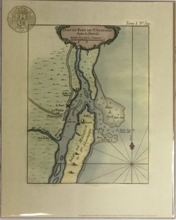
Plan Du Port Color Map
$10.00
Updating…