Gettysburg Handbook

$10.00

NEW 2011 REVISED EDITION with original text by Frederick Tilberg, first published in 1954, updated in 1992. Additional text and captions by Scott Hartwig, Supervisory Historian, and John Heiser, Historian, Gettysburg National Military Park, in 2011.

Revised 2011 Edition contains:

  • 96 Pages in FULL COLOR
  • Day by Day Maps
  • Historical Paintings
  • Then & Now Photographs
  • Complete Cyclorama Painting
  • National Park Highlights
  • Lincoln at Gettysburg

ISBN: 978-0-9729463-8-4

Wholesale Distribution by Historic Print & Map Company (888) 824-5777

Suggested Readings


The Gettysburg Campaign


Adkin, Mark, The Gettysburg Companion. (London: Aurum Press, 2008).

Brown, Kent M., Retreat from Gettysburg. (Chapel Hill, NC: UNC Press, 2011).

Coco, Gregory A., A Strange and Blighted Land:  Gettysburg, The Aftermath of a Battle. (Gettysburg, PA: Thomas Publications, 1995).

Coddington, Edwin B., The Gettysburg Campaign: A Study in Command. (New York: Scribner’s & Sons, 1968).

Creighton, Margaret S., The Colors of Courage: Gettysburg’s Forgotten History (New York: Basic Books, 2005).

Frassanito, William A., Early Photography at Gettysburg. (Gettysburg, PA: Thomas Publications, 1995).

Hess, Earl J., Pickett’s Charge – The Last Attack at Gettysburg. (Chapel Hill, NC: UNC Press, 2001).

McPherson, James M., Battle Cry of Freedom. (New York: Oxford University Press, 2003).

Petruzzi, J. David & Stanley, Steven, Complete Gettysburg Guide. (El Dorado Hills, CA: Savas Beatie Publishing, 2009).

Pfanz, Harry W., Gettysburg: The First Day. (Chapel Hill, NC: University of North Carolina Press, 2010).

_____________, Gettysburg: The Second Day. (Chapel Hill, NC: University of North Carolina Press, 1998).

Sears, Stephen W., Gettysburg(Boston: Houghton Mifflin Com., 2003).

Trudeau, Noah Andre, Gettysburg: A Testing of Courage. (New York: HarperCollins, 2002).


Lincoln and Gettysburg


Boritt, Gabor, The Gettysburg Gospel: The Lincoln Speech That Nobody Knows.  (New York: Simon and Schuster, 2008).

David Donald, Lincoln. (New York: Simon and  Schuster, 1996).

Gary Wills, Lincoln at Gettysburg: The Words That Remade America. (New York: Simon and Schuster, 2006).


Relevant Links


Gettysburg National Military Park

www.nps.gov/gett

Gettysburg Visitors and Convention Bureau

www.gettysburgcvb.org

Main Street Gettysburg

www.mainstreetgettysburg.org

National Archives

www.archives.gov

Pennsylvania Historic and Museum Commission

www.phmc.state.pa.us

The Pennsylvania State Museum

www.statemuseumpa.org

Bill Dowling Photography

www.dowlingphoto.com

Don Troiani Paintings

www.historicalartprints.com

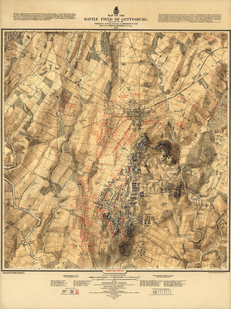
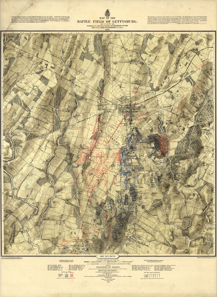
Hal Jespersen Civil War Maps

www.posix.com/CW

Maps

bachelder

Bachelder Gettysburg Birds Eye

Battle fought at Gettysburg, Pa., July 1st, 2d & 3d, 1863 by the Federal and Confederate armies, commanded respectively by Genl. G. G. Meade and Genl. Robert E. Lee Jno. B. Bachelder, del. Endicott & Co., lith, N.Y. Bachelder, John B. (John Badger), 1825-1894. . CREATED/PUBLISHED Boston and New York, Jno. B. Bachelder, c1863. NOTES Scale not given. Inset: Plan of the Soldiers National Cemetery. Uncolored. 6 x 13 cm. Bears a “Proof” mark in the lower left corner. Endorsed (facsim.): I am perfectly satisfied with the accuracy with which the topography is delineated and the position of the troops laid down. [Signed] Geo. G. Meade, Maj. Gen. of Vols. comd. A. P. The reproduced signatures of A. Doubleday, John Newton, Winf. St. Hancock, D.B. Birney, Geo. Sykes, John Sedgwick, O. O. Howard, A. S. Williams, and H. W. Slocum appear below the following statement: The positions of the troops of our respective commands represented upon this picture have been arranged under our immediate direction and may be relied upon as substantially corrct. Colored bird’s-eye view showing the topography of the battlefield by the perspective of the drawing, shading and coloring. Drainage, vegetation, roads and strets, railroads, bridges, houses and names of residents, fences, points of interest on the battlefield, including designations of places where officers were killed or wounded, are indicated. The locations of the corps, divisions, brigades, etc. of both armies, with the names of commanding officers, are given in detail. Badge symbols are used to identify the Federal corps.

battlefield-cavalry

Battlefield of Gettysburg – Cavalry

Map of the field of operations of Gregg’s (Union) & Stuart’s (Confederate) cavalry at the battle of Gettysburg, July 3, 1863 Surveyed by Frank O. Maxson, C.E. under the direction of John B. Bachelder, authorized by Act of Congress, approved June 9th, 1880. Bachelder, John B. (John Badger), 1825-1894. . CREATED/PUBLISHED [S.l., Julius Bien & Co. lith., 1880] NOTES Scale 1:12,000. The maps are entitled “No. 4a. 6-8 P.M., July 2,” “No. 10. 4-11 A.M., July 3,” “No. 11. 11 A.M.-2 P.M., July 3” and “No. 12. 2-5 P.M., July 3.” Detailed topographic map with spot elevations and contours “given for every change of four feet in elevation . . . Every object is represented, as nearly as possible, as it was at the time of the battle.” Shows drainage, vegetation, roads, railroads, fences, and houses with names of residents. Minute analysis of the movements of the cavalry units of both armies, with names of commanding officers and the period of time spent in a particular position. Dotted lines and arrows indicate the movements of the troops.

Battlefield of Gettysburg – July 1st – July 3rd

battlefied-july-1st
battlefield-july-2nd
battlefield-july-3rd

Maps of the battle field of Gettysburg. July 1st, 2nd, & 3rd, 1863 Published by authority of the Hon. the Secretary of War, office of the Chief of Engineers, U.S. Army, 1876. Positions of troops compiled and added for the Government by John B. Bachelder. Bachelder, John B. (John Badger), 1825-1894. . CREATED/PUBLISHED Boston, John B. Bachelder, 1876. NOTES Scale 1:12,000. “Topography engraved by Julia Bien . . . N.Y. Positions & lettering by Louis E. Neuman . . . N.Y.” “Printed by Endicott & Co. . . . N.Y.” The maps are entitled: First day’s battle. Second day’s battle. Third day’s battle. “The map is reduced from one on a scale of 200 feet to the inch, deposited in the Archives of the office of the Chief of Engineers. The survey was ordered by Brevet Major General A. A. Humphreys, Chief of Engineers, and conducted under Brevet Major General G. K. Warren, Major of Engineers.” An extremely detailed topographic map with spot elevations and contours “given for every change of 4 feet in elevation.” Drainage, vegetation, roads, railroads, fences, houses with names of residents, and a detailed plan of the town of Gettysburg are shown. “Every object is represented here as near as possible as it was at the time of the battle.” A very minute analysis of the deployment of the various units of both armies, with the names of commanding officers, period of time spent in a particular position, and other pertinent information is given. Dotted lines and arrows indicate the movements of the troops, and the positions at various times of the day are shown by symbols explained in the legend.

Weight 7 oz
Dimensions 8 × 6 × 1 in
SKU: gbhb Categories: ,
Updating…
  • No products in the cart.